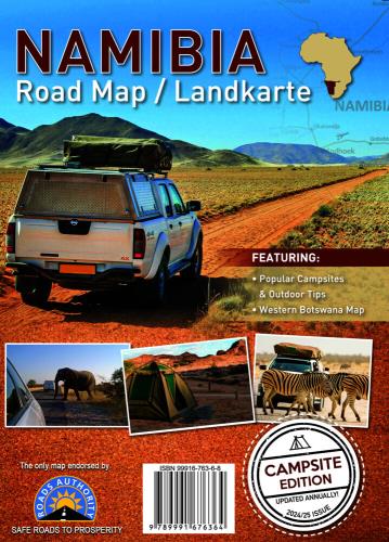
Namibia Road Map / Landkarte Campsite Edition
The only road map of Namiba that shows the official road network of the Roads Authority Namibia.
| Autor | |
| Quelle | Sonstige Datenquellen |
| ISBN | 978-3-943752-73-1 |
| Lieferbarkeit | noch nicht lieferbar |
| Katalogisat | Basiskatalogisat |
| Verlag | Huber Kartographie |
| Erscheinungsdatum | 01.01.2025 |
Beschreibung (Langtext)
Die Karte Namibia Campsite Edition im Maßstab 1: 2.000.000 ist in Englischer Sprache und die einzige Straßenkarte von Namiba, die das offizielle Straßennetz der Roads Authority Namibia zeigt. Die Karte enthält die wichtigsten Campingplätze und Outdoor Tipps sowie eine Entfernungstabelle. Die Karte bildet auch den Westen Botsuanas mit dem UNESCO-Welterbe Okavangodelta ab. Eine Liste der wichtigsten Sehenswürdigkeiten mit Planquadratangaben ergänzt die Karte sinnvoll.
Die Geographie wird mittels farbiger Höhenschichten verdeutlicht.
The Namibia Campsite Edition map at a scale of 1: 2,000,000 is in English and is the only road map of Namiba that shows the official road network of the Roads Authority Namibia. The map contains the most important campsites and outdoor tips as well as a distance table. The map also depicts western Botswana with the UNESCO World Heritage Okavango Delta. A list of the most important places of interest with plan squares complements the map.
The geography is illustrated by means of coloured elevation layers.